


|
VISUAL IMPACT ASSESSMENTSDevelopment proposals are likely to change the environment within which it will be situated, be it natural or man-made, as well as people’s perceptions of that changed environment. The visual, scenic and cultural components of the environment are extremely valuable resources and development proposals have the potential to cause significant impacts. A Visual Impact Assessment (VIA) may therefore be required, either as part of a Basic Assessment, Scoping and EIA and/or Heritage Impact Assessment. GENERAL OBJECTIVE OF A VIA(Visual Impact Assessment)The general objectives of a VIA are to:
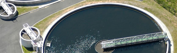
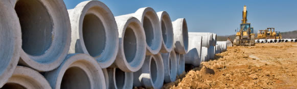
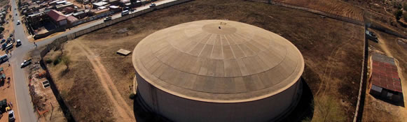
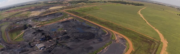
DOES YOUR ENVISAGED DEVELOPMENT TRIGGER A VISUAL IMPACT ASSESSMENT?The need for a Visual Impact Assessment will be triggered by :
METHODOLOGYA VIA is undertaken in accordance with six distinct steps, each of which informs the subsequent step(s). STEP 1Description site context, location & environmental characteristics. STEP 2Description & categorisation of the proposed project in term of set guidelines. STEP 3Identification of main view corridors & preparation of a photographic study & Digital Elevation Model as basis for viewed analysis. STEP 4Undertaking viewshed analysis as a mechanism to identify & select observation points for visual impact assessments of proposed development. STEP 5Assessment of potential visual impact of proposed development from selected observation points terms of standard procedure & guidelines. STEP 6Description of measures to mitigate potential detrimental impact & enhance potential positive impact of the proposed development. |
|
|