


|
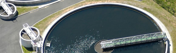
Freshwater Impact AssessmentPersonal description Michaela Riehl completed a Masters degree in Water Resource Management from the University of Pretoria and has been working as a freelance sub-consultant since 2009. She has been involved in the World Bank Mfolozi Scoping Report, where she was responsible for the Hydrology study, the GIS mapping and large components of the literature review and sediment yield assessments. Since then she has done the return flow calculations and modeling for the Uvongo and Durban Bay estuaries; as well as modeling stream flow reductions for the quaternary catchments within the Olifants catchment using the Pitman model. The importance of wetlands Wetland / Freshwater Impact Assessments are sometimes required for development projects where wetlands may be affected. Thorough Wetlands reports reduce project delays by providing local governments and Department Environmental Affairs with the information needed to make informed and timely decisions. A typical report includes a wetland assessment, an impact assessment, and a mitigation proposal Wetlands play a vital role in the functioning of healthy eco-systems, providing habitats for an abundance of plant, animal and bird species. They are the all important, natural sediment and toxin filters for a catchment and provide natural flood retention through their sponge like effect- slowing the flow of flood waters. For many communities they are a source of medicinal plants and the reeds for housing material and cultural ceremonies. The management, protection and rehabilitation of wetlands are therefore vital to a healthy environment for many species, including humans. Wetland / Freshwater Assessment Methodology In order to conduct wetland/freshwater assessments, broad-scale information will be obtained from the National Wetland Inventory. The type of freshwater systems identified and, the extent and location of the systems are delineated using Geographical Information Systems and aerial photography. Google Earth is used to delineate the freshwater ecosystems and riparian zones and assign them with Hydrogeomorphic units (HGU). The role of the wetlands/freshwater eco-systems in the functioning of the eco-system is determined as well as the primary source of water (ie. surface or groundwater). The importance of the wetland/freshwater eco system in relation to the whole catchment in which they are located is commented on and; recommendations made as to how, if at all, the eco-systems may be impacted on. The ecological health of the identified eco-systems are considered, by taking into account the upstream land-use and hydrological aspects such as the impacts on the quality of the water. As part of the wetland/freshwater eco-system assessments, a report is compiled, maps are provided to show the location of the wetlands, rivers and riparian zones along the different potential routes, what the Present Ecological Status (PES) of the ecosystems are, as well as what the Ecological Importance and Sensitivity (EIS) of each is.
|
|
|